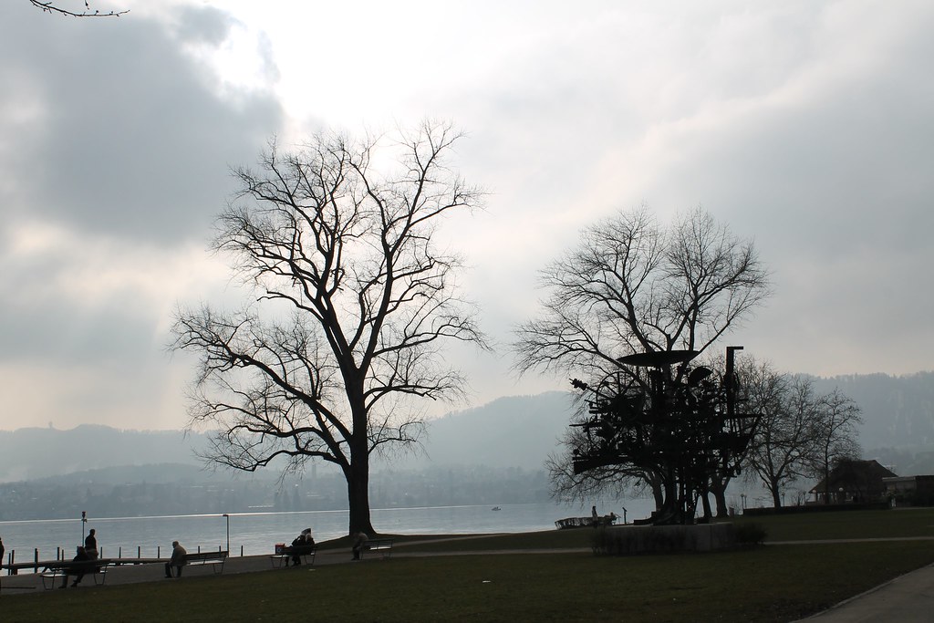
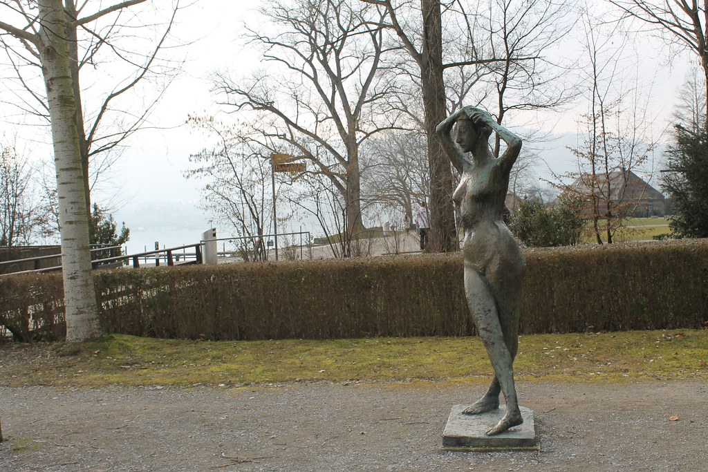
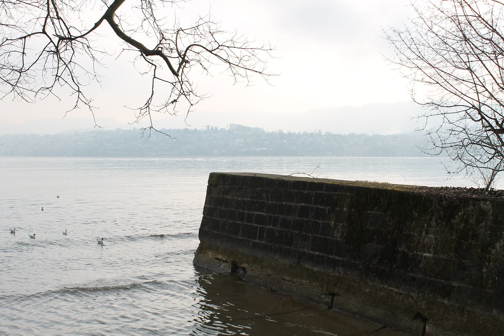
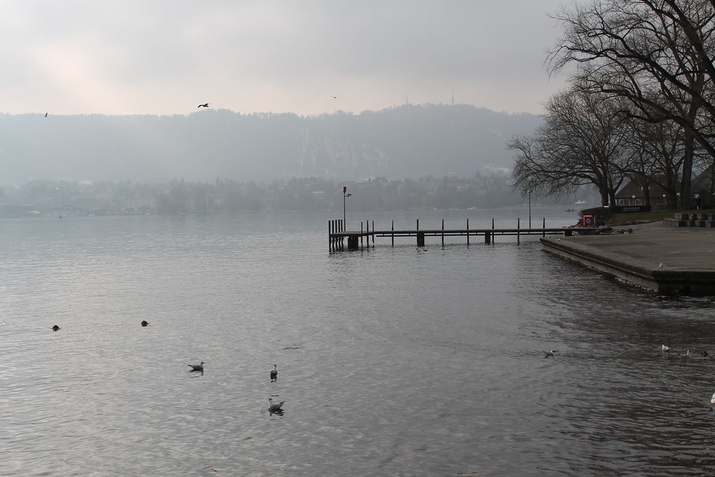
Lake Zurich - Part 2


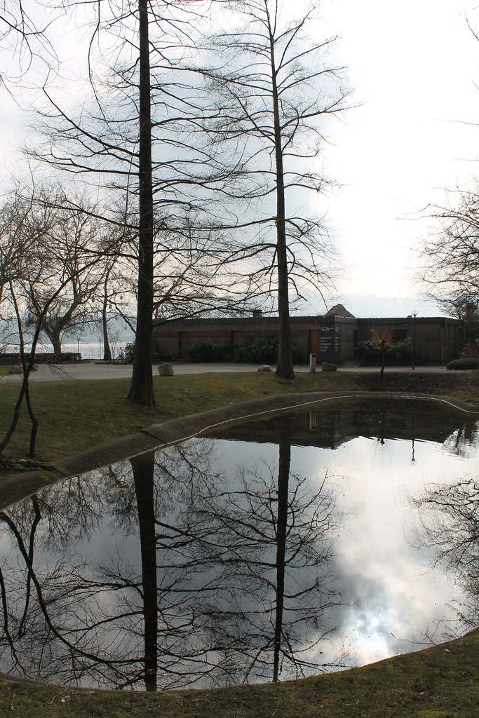
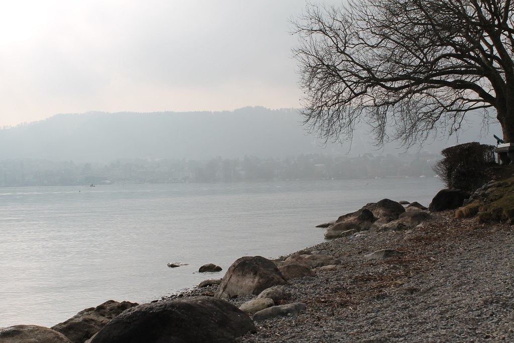
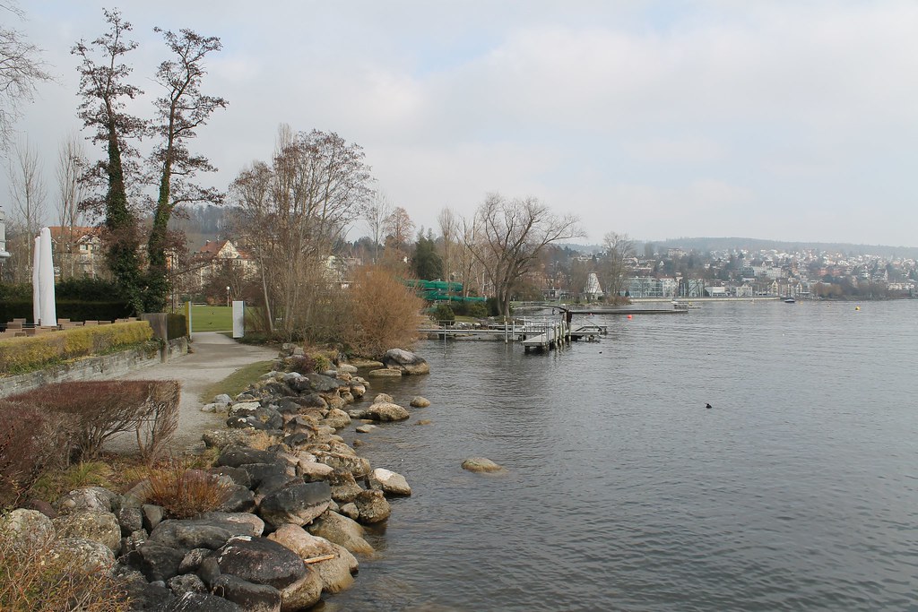
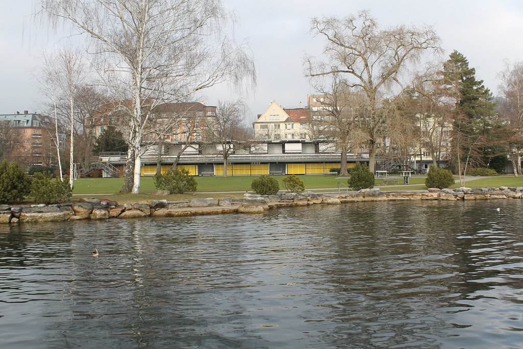
Lake Zurich is located in the southwestern part of the canton of Zurich. To the east are – separated by Zürichberg-Adlisberg, Forch and Pfannenstiel – two minor lakes: Greifensee (Lake Greifen) and Pfäffikersee (Lake Pfäffikon). Zimmerberg and the Etzel regions lie to the west.
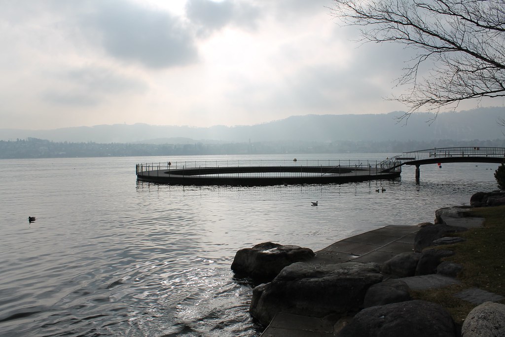
Lake Zurich is formed by the river Linth, which, rising in the glaciers of the Tödi Range in Glarus, which was diverted by the Escher canal (completed in 1811) into the Lake Walen, there by means of the Linth canal (completed in 1816), its waters are carried to the east end of the Lake of Zurich. The waters of the Lake of Zurich outflow from the lake at its north-west end, passing through the city of Zurich, however the outflow is then called the Limmat.
No streams of importance flow into the lake besides the Linth. It is included, or the greater portion, in the Canton of Zurich, but at its easterly end about 20 km² towards the southern shore are in Canton of Schwyz, and 10 km² towards its northern shore in Canton of St. Gallen. The large masonry dam (the Seedamm), carrying a railway line and road from Rapperswil to Pfäffikon, divides the lake.
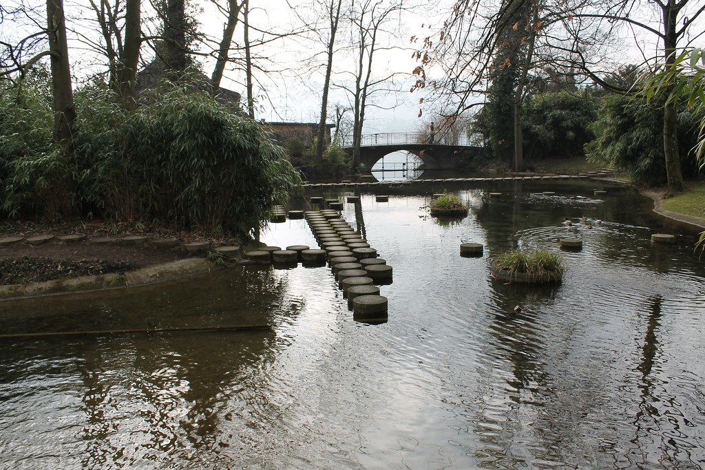
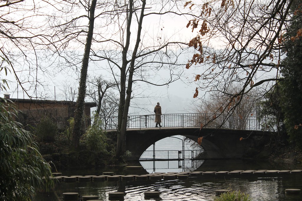
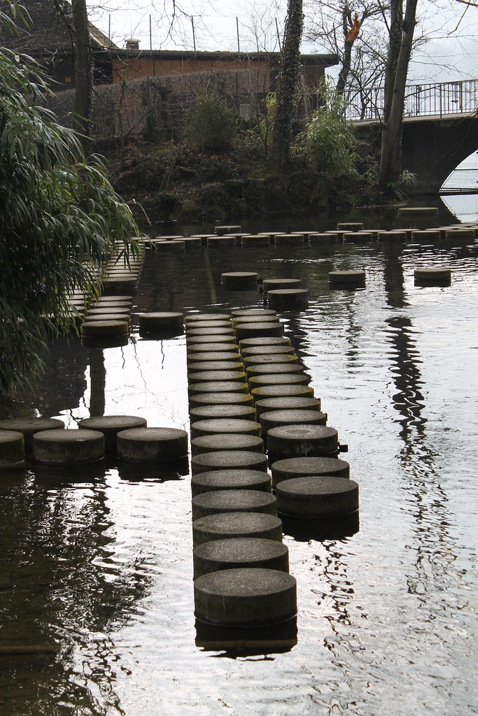
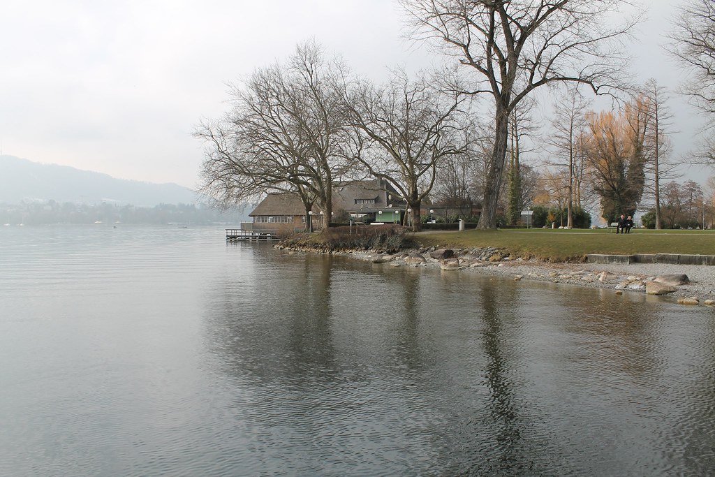
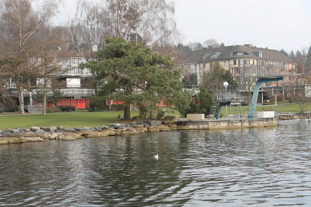
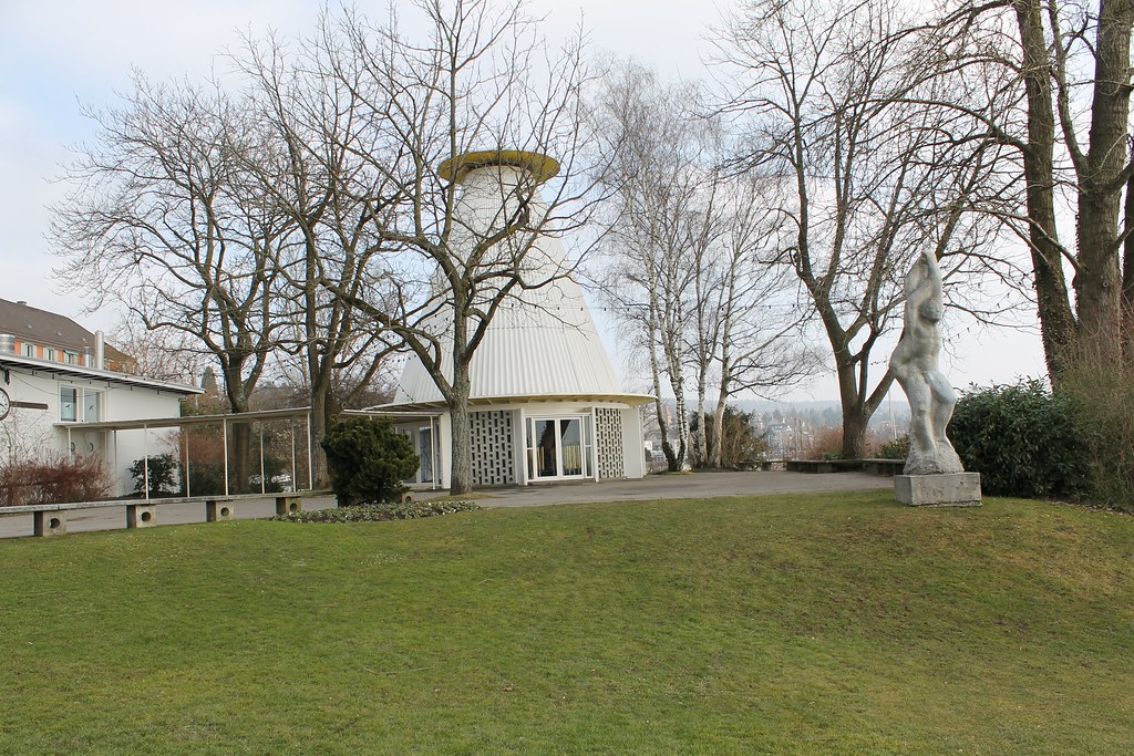
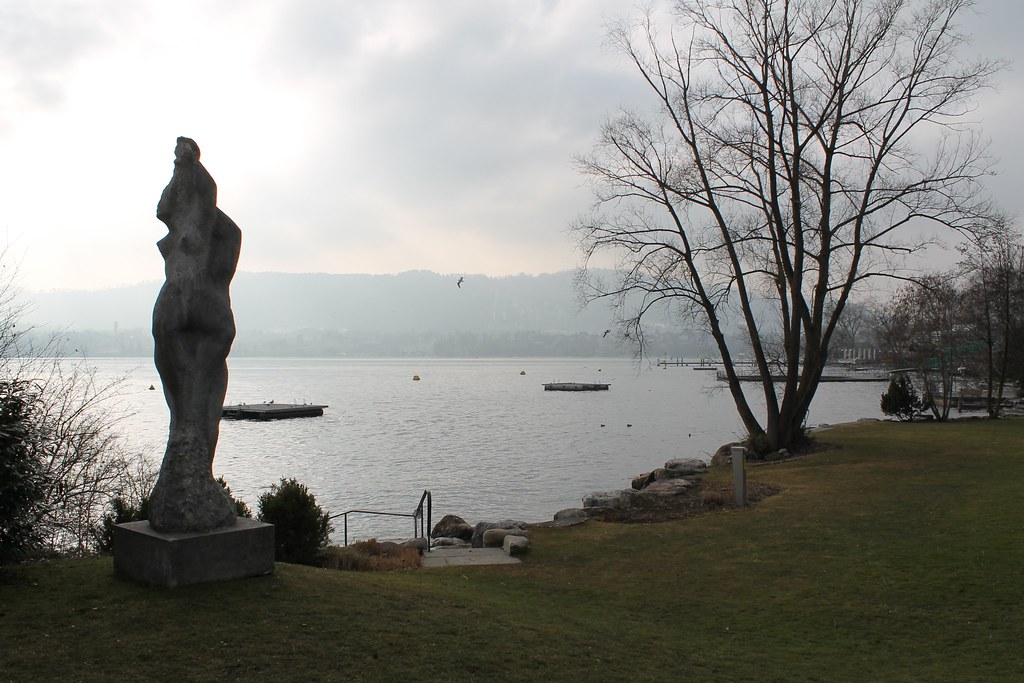
The eastern section of the lake is known as the Obersee, German for "upper lake". West of this dam lie the small islands of Lützelau and Ufenau, where in 1523 Ulrich von Hutten took refuge and died. Both shores are well cultivated and fertile. Another touristic destination is the Au peninsula at the village of Au between Wädenswil and Horgen.


Comments
Post a Comment